(Long-distance) hiking on the Via Claudia Augusta
Emperor Claudius had the Via Claudia Augusta developed into the first real road across the Alps, connecting the Adriatic port of Altinum with the Danube. Most Romans traveled on foot. Therefore, road stations were set up at intervals of a day's walk, where people could spend the night and get food. Usually there was also a small thermal bath and a sanctuary.

Long-distance hiking trail
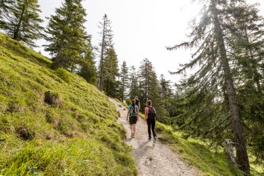
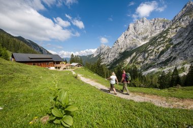
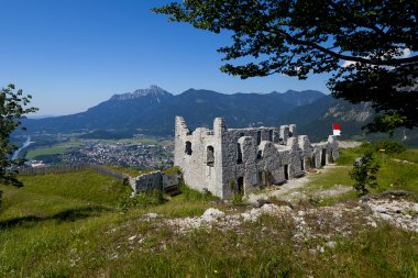
Following the history, we have worked out a long-distance hiking route. It leads through a colorful variety of natural and cultural landscapes, which the Via Claudia Augusta has shaped over the centuries. Hundreds of testimonies of changing history and cultures shaped by it are waiting to be discovered. Afterwards, delicacies from the kitchen and cellar will tempt you. The recommended places to stay divide the route into daily stages. A list with accommodations, which adjusted themselves to Weitwanderer u. v. a. m. gives it on www.viaclaudia.org. Gathering countless impressions, discovering our roots and finding ourselves in the process - that is hiking along the Via Claudia Augusta.

Hiking route Via Claudia Augusta
Distance: Long-distance hikers usually walk the Via Claudia Augusta for a few days; in total, the trail comprises about 30 daily stages of 4 - 6 hours and measures about 600 km from Landsberg am Lech through the Alps to the Renaissance castle of Castelbrando on the picturesque Prosecco hill north of the Venetian plain (Italy).
Connections: the stations of Donauwörth, Augsburg, Landeck, Bolzano, Trento, Vendig-Mestre, Rovereto, Verona and Ostiglia are optimally connected to the international railroad network; public transport runs parallel to the route almost everywhere; possibility of combination with other long-distance trails.
Profile: on forest paths, hiking trails and quiet side roads, mostly at the foot of the sunny mountain slopes, like the historical route. Signposting: unfortunately not all parts of the route are signposted; with a tour book and / or a GPS device you will find the way in any case.
Travel documents: tour books. Interactive map for individual trip planning on this Internet portal; the apps allow you to orient yourself along the route with your individual travel plan and contain information about places and accommodations.
Awards: Long-distance hikers from every continent and ages 7 to 95.
Shuttle service
An optional shuttle service over the Fernpass and the Reschenpass as well as a luggage service guarantee enjoyable hiking along the Via Claudia Augusta from accommodation to accommodation.
Information about the shuttle over the Fernpass
Information about the shuttles over the 6 passes
Information about the shuttle Italy-Germany
Package tour offers for your bike tour along the Via Claudia Augusta can be found here:

4 maps through the millennia
A series of maps of the regions along the Via Claudia Augusta is currently being created that will show each region at 3 points in history and today. The 3 "historical" maps will give a quick look at the history of the region. The current map is a guide to how and where to experience the region and the Via Claudia Augusta today. The first "4 maps through the millennia" are dedicated to the nature park region of Reutte in Tyrol. You can download the maps here. But they are also available in printed form for the price of a cyclist, among others at the tourist info of the region and at the Via Claudia Augusta.
Documentary Via Claudia Augusta
Within the framework of the cross-border Interreg project Hereditas, Virtual Via Claudia Augusta a great documentary film about the popular Roman road has been produced. You can get a small taste in the trailer below, the complete film can be found on the Via Claudia Augusta website.


