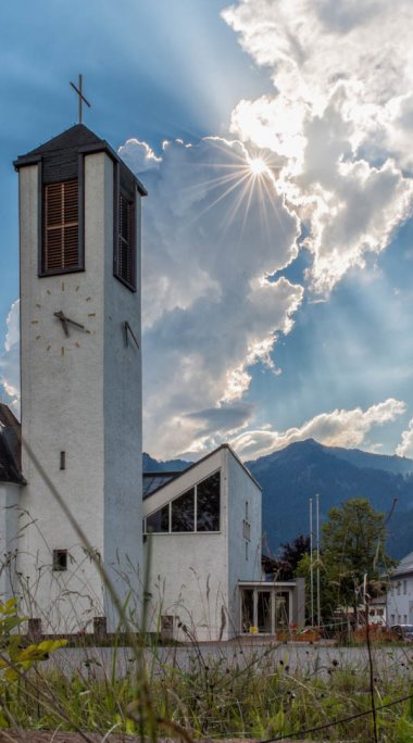
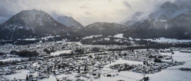
Lechaschau
Today's community of Lechaschau, called Lech until 1888, together with Wängle, Höfen, Weißenbach and Vorderhornbach formed a closed administrative, economic, judicial and pastoral association, the "Niedergericht Aschau", since its settlement in the 8th century by the Alemanni until the 16th century.
- Sea level: 846 m
- Inhabitants: 2.071
- Total Area: 6,11 km²
- Population density: 339/km²
- Districts: Dorfkern, Buchenort, Weidasiedlung
The construction of the Lech Bridge in 1464 between Reutte and Lechaschau brought a significant boost. For over 300 years it served the traffic between Italy and Swabia and from about 1550 also the salt transports from Hall to the Lake Constance area and Switzerland.
Situated on the left bank of the Lech River, Lechaschau is the ideal place to spend quiet, relaxing vacations with the whole family. Due to its direct proximity (separated only by the Lech River) to the district capital Reutte, Lechaschau has a very good infrastructure. The popular, 245 km long Lechradweg as well as the long-distance hiking trail Lechweg pass by here.


